High accuracy drone maps and models that reveal progress, risks and real conditions.
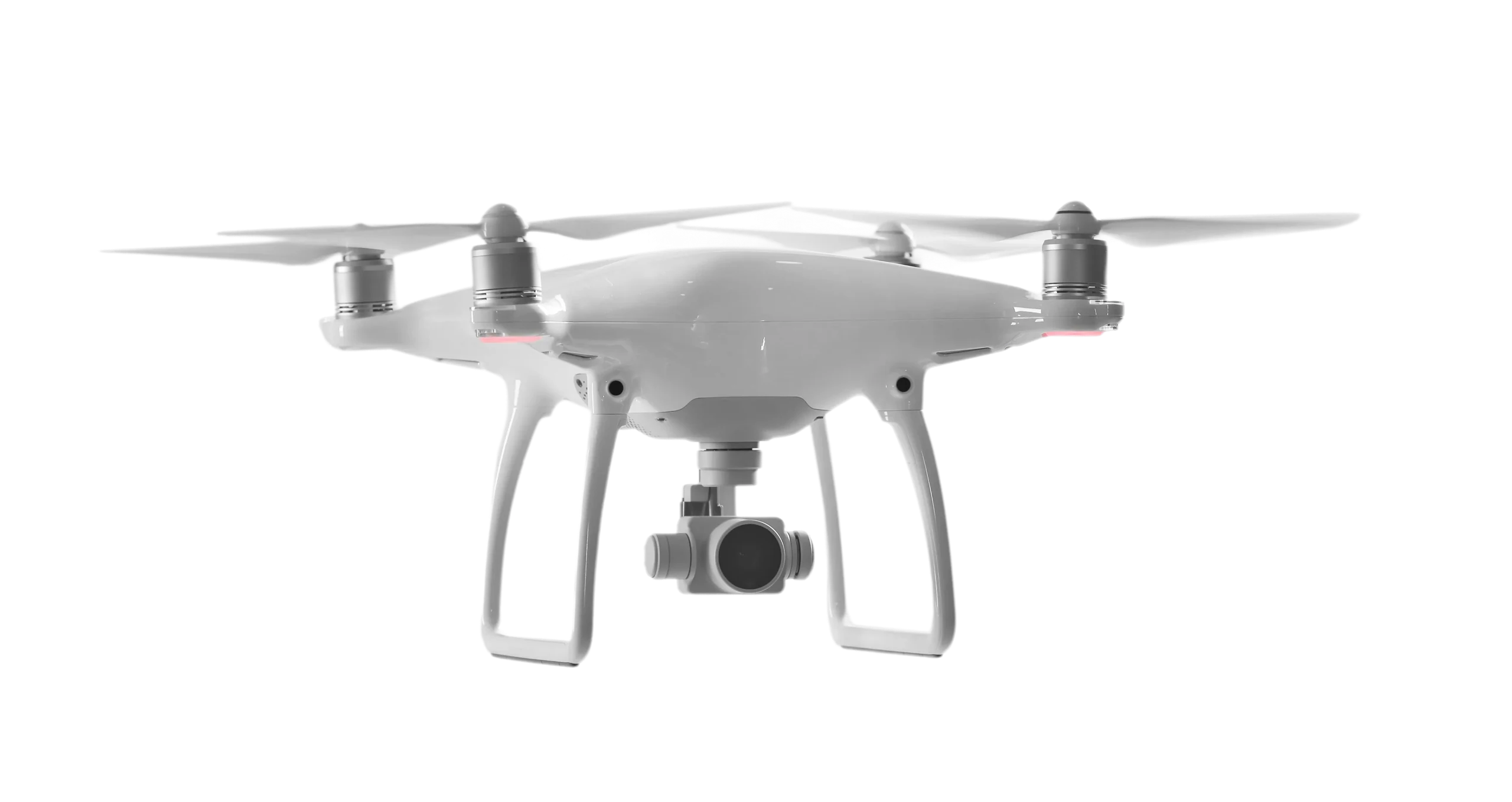
SitePace.ai Drone Surveys capture your site from the air. Our certified partner or your own pilots fly the surveys, and SitePace.ai turns the data into site maps and 3D models for tracking progress, roofs and facades.
Features That Deliver Total Site Visibility
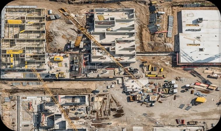
Angled aerial views for defects, safety checks and handover records.
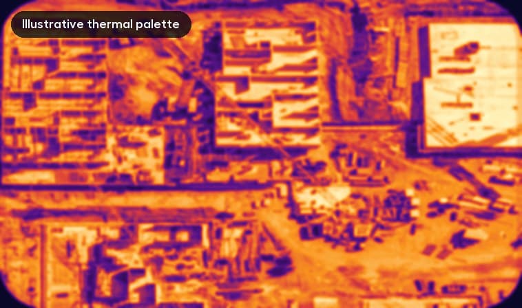
Thermal maps for water ingress, electrical and roof audits.
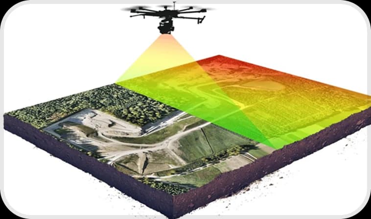
Topographic surveys and accurate terrain, even under vegetation.
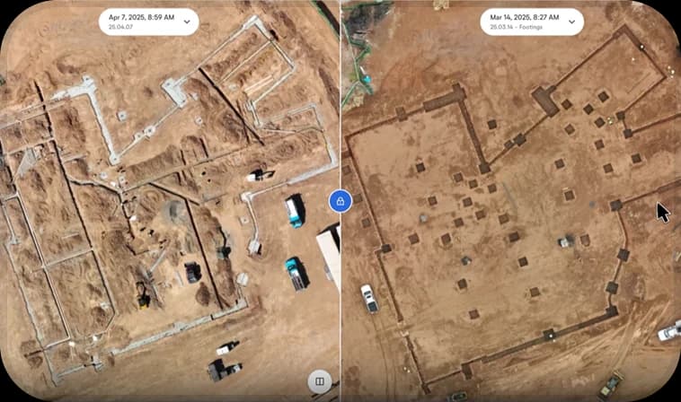
Evaluate multiple drone captures side by side to track work completion.
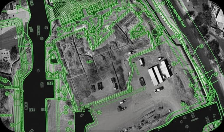
Align aerial maps with site layouts and floor plans to ensure accurate execution.
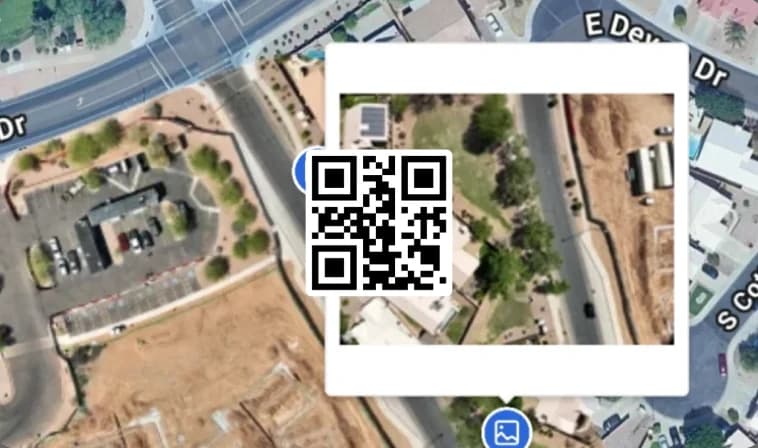
Tag, comment and assign tasks directly on aerial maps.
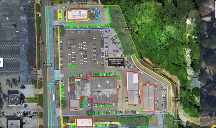
High resolution site maps at 2 to 5 cm per pixel.
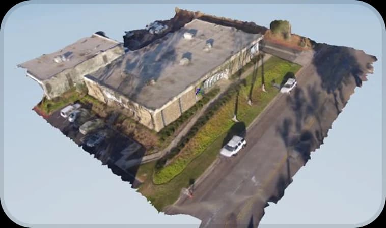
Detailed models of the site for as built verification.
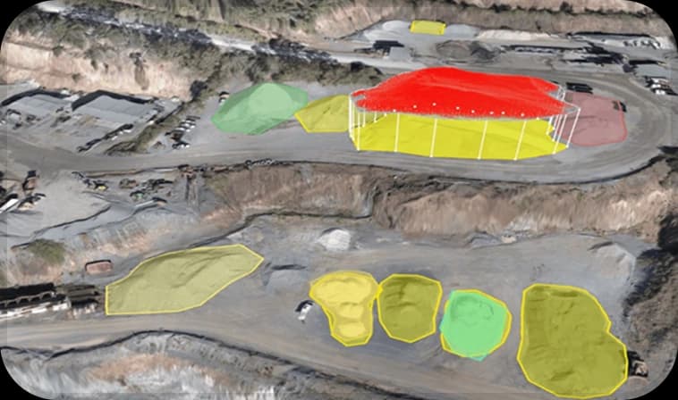
Accurate cut and fill volumes, with reports in CSV and on maps.
Why It Matters

Get a full aerial overview of large sites, earthwork progress and layout accuracy.

Reduce manual surveying risk and collect data over large areas in minutes.

Generate elevation maps, stockpile volumes and precise 2D and 3D models automatically.

Compare drone captures from different days to measure productivity and progress.
Related Products